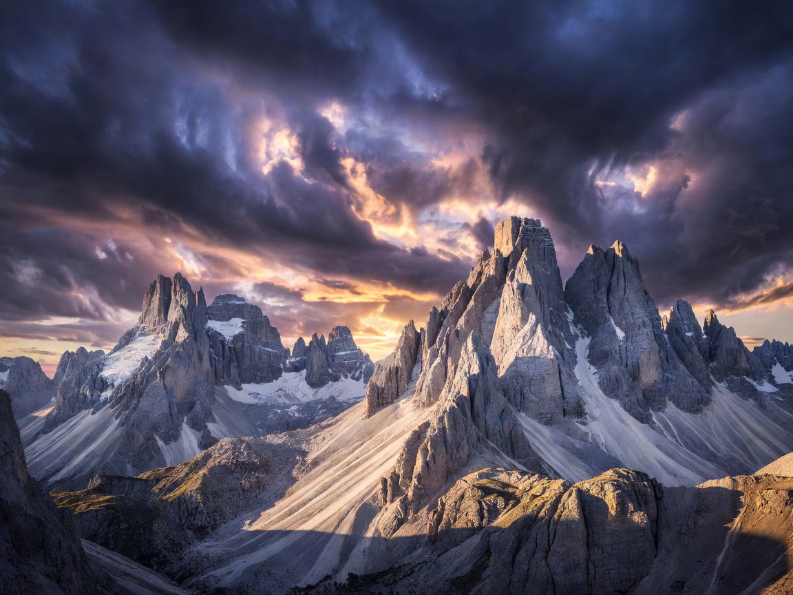
 Alpine High Pass
46.5483° N, 11.8654° E
Alpine High Pass
46.5483° N, 11.8654° E
Passo Giau & Monte Nuvolau
A panoramic high mountain pass connecting Cortina d'Ampezzo with Colle Santa Lucia, surrounded by steep pinnacles.
Open Dolomites Field DossierComprehensive field dossiers cataloging topographies, peak elevations, road accessibility, and panoramic overlooks across the European landmass.
Alpine High Pass
46.5483° N, 11.8654° E
A panoramic high mountain pass connecting Cortina d'Ampezzo with Colle Santa Lucia, surrounded by steep pinnacles.
Open Dolomites Field Dossier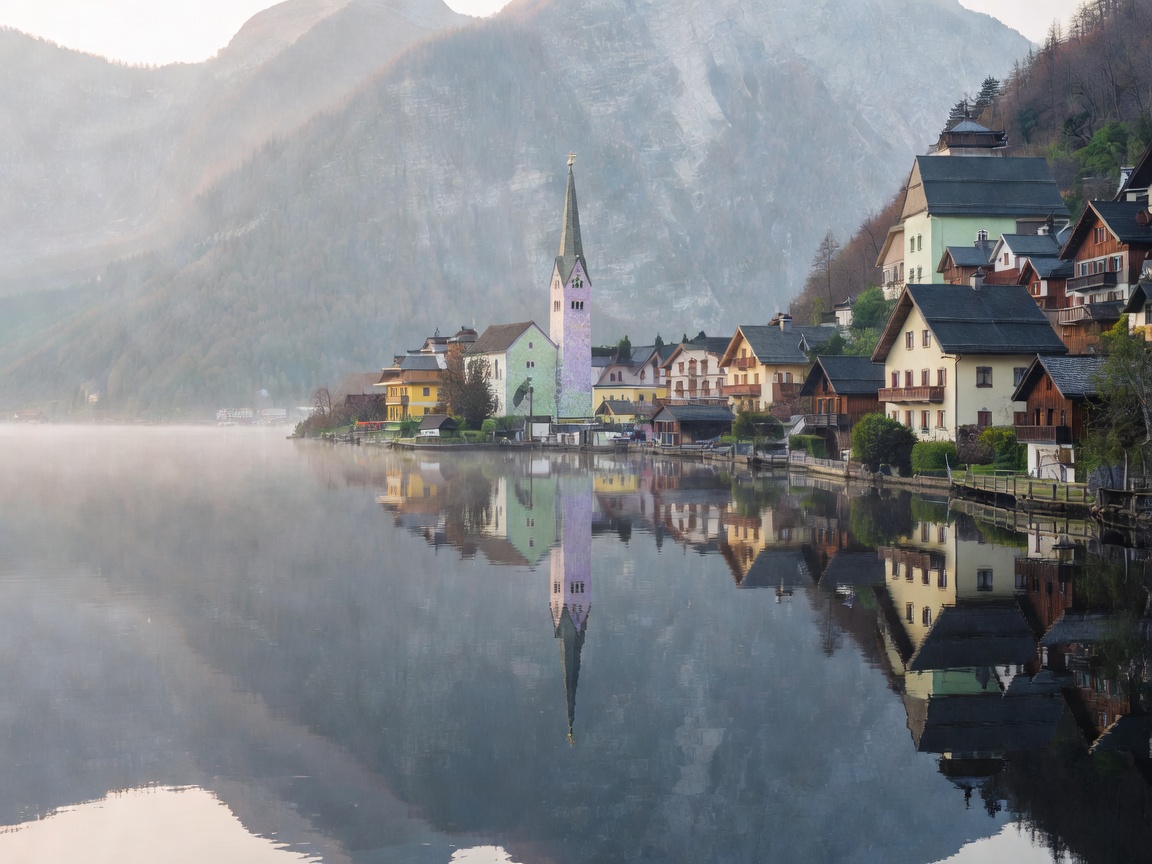 Lakes & Heritage
47.5622° N, 13.6493° E
Lakes & Heritage
47.5622° N, 13.6493° E
Prehistoric salt-mining town enveloped by crystalline waters and towering limestone cliffs of the Dachstein massif.
Open Hallstatt Field Dossier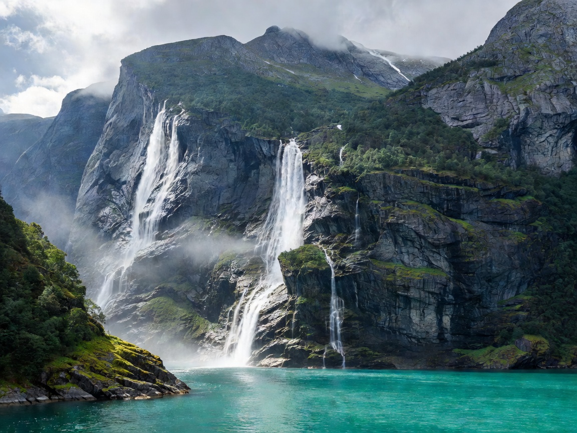 Fjord System
62.1018° N, 7.2066° E
Fjord System
62.1018° N, 7.2066° E
A UNESCO-inscribed deep marine fjord adorned with the Seven Sisters waterfalls and dizzying precipice lookouts.
Open Geirangerfjord Field Dossier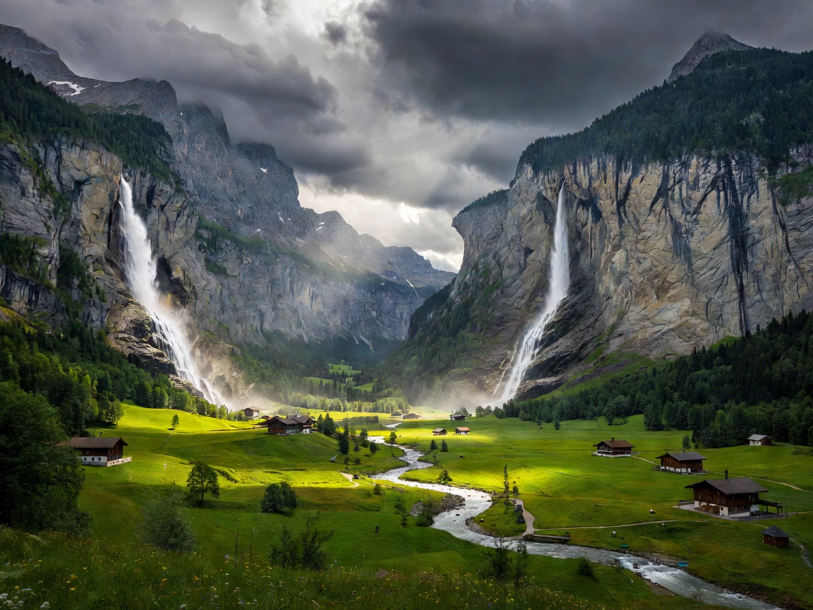 Glacial Valley
46.5935° N, 7.9077° E
Glacial Valley
46.5935° N, 7.9077° E
Deep U-shaped glacial chasm lined with 72 cascading waterfalls, overshadowed by the Eiger, Mönch, and Jungfrau trio.
Open Lauterbrunnen Field Dossier Volcanic Caldera
36.4618° N, 25.3753° E
Volcanic Caldera
36.4618° N, 25.3753° E
Cycladic whitewashed architecture perched along the precipice of a submerged volcanic caldera with crimson sunsets.
Open Santorini Field Dossier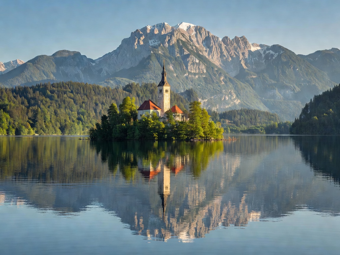 Julian Alpine Basin
46.3636° N, 14.0938° E
Julian Alpine Basin
46.3636° N, 14.0938° E
Glacial lake centered around a tear-shaped island church, viewed best from the steep forest scramble of Ojstrica.
Open Lake Bled Field Dossier